

Description
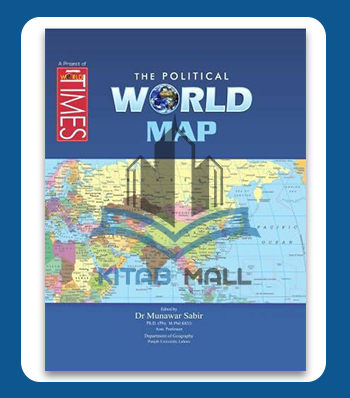
🗺️🌍 JWT The Political World Map is an essential visual aid for students, educators, and competitive exam aspirants. This high-quality, laminated map clearly displays the world’s political boundaries, country names, capitals, and major cities — making it perfect for study, reference, or display. 📚🖼️
📌 Key Highlights:
✔️ Up-to-date Political Boundaries – Includes all recognized countries and capitals as per the latest international data 🏙️📍
✔️ High-Resolution Print – Sharp text and vibrant colors for easy readability and effective learning 🎨👓
✔️ Durable & Laminated – Tear-resistant and waterproof for long-lasting use 💪💧
✔️ Ideal for Competitive Exams – Especially helpful for CSS, PMS, FPSC, and other general knowledge prep 🎯📝
✔️ Perfect for Classrooms & Study Rooms – Hang it on the wall for quick reference and daily revision 🧠🖼️
🔎 Whether you’re a geography lover, a serious aspirant, or a teacher, JWT The Political World Map is your go-to resource for global awareness and smart learning. 🌐✨
There are no reviews yet.